pix2pixgooglemap
January 29, 2022 · View on GitHub
This code is an example of image2image architecture on google maps pictures which took from New York City.
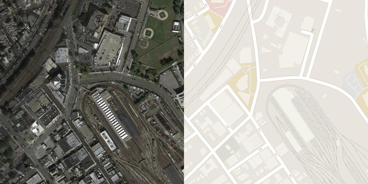
This model will create an image like a target image which is Map, from the input image, which is a Satellite image
Result images:
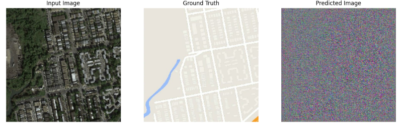
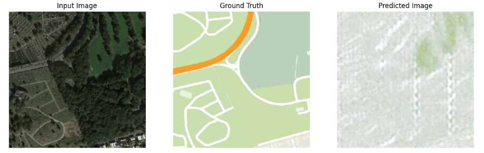
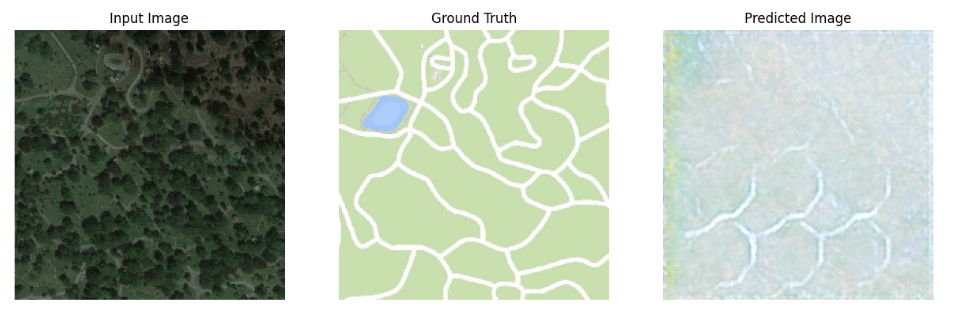
You can also change the number of epochs for better pictures or try other datasets
NOTE: All numbers(e.g lambda, conv size, ...) are from the image2image article