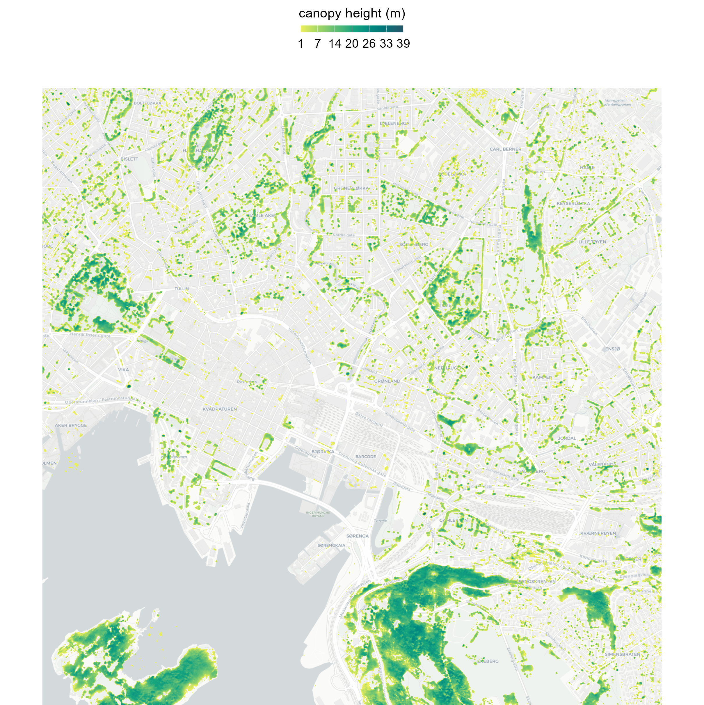
Tree height maps with Meta & World Resources Institute Data
May 12, 2024 · View on GitHub
In this repo, I'll guide you through the process of downloading the latest tree canopy height data from Meta and the World Resources Institute, with a detailed resolution of 1 meter. You'll learn how to create clear static maps using ggplot2 in both light and dark themes, as well as interactive maps with leaflet.